Soil Scientists
We Dig Deeper
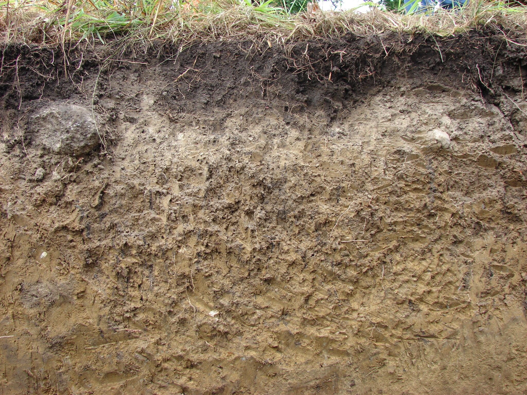
We promote the understanding and wise use of Minnesota's soil resources.
Established in 1973, the Minnesota Association of Professional Soil Scientists (MAPSS) is the only organization representing the professional interests of soil scientists in Minnesota. Our members consist of professional soil scientists, consultants, researchers, teachers and students, as well as those who just have an interest in soil.
Upcoming Events
April 1-June 30-2026
Soil Scientist License Renewals
Click here for more information.
August 6-7, 2026 in La Crosse, WI
Summer Tour 2026 - Driftless vs. True Driftless - Soil and Landscape Tour
A two-day field tour through Southeast Minnesota and Southwest Wisconsin, with lodging options based in La Crosse, WI.
Join us as we explore soils, parent materials, geomorphology, and landscapes across the Driftless region - comparing the “true” Driftless of Wisconsin with the driftless-feeling landscapes of Southeast Minnesota.
● Soil pits + soil cores + landscape interpretation
● Bedrock, loess, colluvium, and floodplains
● Great soils, landscapes, and people
Hosted by the Minnesota Association of Professional Soil Scientists + the Wisconsin Society of Professional Soil Scientists.
Registration details coming soon.
FSS and PSS License Contacts
Board of AELSLAGID - PSS Licensure information
https://mn.gov/aelslagid/soilscience.html
Fundamentals of Soil Science Exams - Check here for applications and for exam dates https://www.soils.org/certifications/exam-information/
Reimbursement for the Fundamentals Exam Fee- The MAPSS Professional Practice Committee and Spectrum Research of Duluth, MN will reimburse $195.00 of the fundamentals exam. Complete the reimbursement form BEFORE requesting reimbursement.
Thank you for recent donations from:
Spectrum Research - Duluth, MN
Terry Bovee
Kim Steffen
Past Events
December 5, 2025 (Friday), 8am - 5pm
MAPSS Winter Technical Event - Soil Restoration in Minnesota
Registration may be found here.
Thanks to our sponsors - Alliant Engineering and Stantec
August 1, 2025 (Friday), 8am - 5pm
MAPSS Summer Tour
Artesols (proposed) - The Urban/Built Environment Soils
University of Minnesota, St. Paul Campus and Local Field Sites
December 6, 2024
MAPSS Winter Technical Event - Environmental Investigations and Remediation
Thanks for the location, WSB Engineering and for lunch, D’Amico & Sons!
August 23, 2024 (optional August 22 pre-tour)
The SPRUCE (Spruce and Peatland Responses Under Climatic and Environmental Change Experiment)
Grand Rapids, Minnesota
Will include histosol hydrology, histosol restoration, ecology, etc.
MAPSS Winter Technical Event 2023
Thanks to a very successful Winter Technical Event on Friday, December 1, 2023. Thanks toWSB Engineeringfor an amazing location,D’Amico & Sonsfor lunch and lunch sponsors:
Alliant EngineeringandStantec.

What we do
MAPSS members remain informed about advancements in soil science through annual technical events and summer tours/field trips.

Become a member
Stay informed about the latest in soil science and events. This portion of the website is not yet ready to go, but it will be soon. Email us if you have any questions before it is ready. Thank you for your patience!